
Sources Behind Glendale Previous Residents
A Glendale address history has two tracks. County land records trace ownership, while directories and census schedules identify listed occupants at a fixed point in time. Permits, newspapers, probate files, plats, and aerial or fire-insurance maps can explain a change. None is a complete roll of previous residents. The best starting source depends on the age of the address and whether the question concerns title, a household, or the building itself.
| Historical source | Known time span | Official keeper | Clue supplied |
|---|---|---|---|
| Recorded deeds and instruments | Modern index plus older retained records | Maricopa County Recorder | Grantors, grantees, document dates, and legal descriptions |
| Glendale and Salt River Valley directories | Confirmed editions from 1912 through 1959 | Arizona Memory and local research collections | Named householders, spouses, work, and address clues |
| Federal population census | Public schedules through 1950 | National Archives and library databases | Household members, ages, kinship, and place facts |
| Parcel and permit records | Current parcel record and available municipal files | County Assessor and Glendale Development Services | APN, structure facts, deed pointer, and work dates |
| Newspapers and probate | Varies by title and case | State collections and Maricopa County Superior Court | Deaths, heirs, legal notices, and address events |
Begin with the current parcel even when the goal is much older. Its APN, map reference, subdivision, lot or block, and legal description form a bridge across changing street labels. The parcel page also points toward the present deed. Once the trail reaches a prior household, move sideways into the directory, census, newspaper, and court sources for that same period.
Begin Glendale Address History
The Maricopa County Assessor property search accepts a street address, owner name, APN, or MCR map reference. For a Glendale address, retain the direction and full street type. Numbered avenues, drives, and lanes may run beside one another. If a full address gives no match, official help suggests omitting the street type. The returned parcel card separates the physical, or situs, address from the owner's mailing address. That difference matters: mail may go to a trust, business, post office box, or distant contact.
Copy the APN, legal description, subdivision and lot data, current owner, deed number and date, and any map reference. An APN is the assessor's parcel number. It identifies the tax parcel, not a person or street number. The Assessor does not create a public parcel-history report on demand through the parcel page, but its research guidance directs parcel-history requests to asr.pa@maricopa.gov with the parcel number. That request is one fallback when the live page does not show the older step needed to find past residents.
Note: A parcel owner is evidence of title, not proof that the owner lived at the Glendale property.
Walk Back Glendale Deed Records
The Maricopa County Recorded Document Search is the main ownership trail. Its ordinary index searches party names, business names, document codes, dates, document numbers, and book or page references. Address and legal-description full text are a newer mode limited to the latest two years, so an old Glendale house should not be traced by address text alone. Start from the assessor's deed pointer, then move through names while matching the land description at each turn.
- Open the current parcel and record its owner, APN, legal description, and acquisition deed reference.
- Retrieve that instrument in the Recorder index. Confirm the parcel by legal description, not just the party name.
- Write down the grantor, grantee, recording date, document number, and any earlier instrument cited in the image.
- Search the grantor as an earlier grantee. Repeat while each document still matches the same Glendale land.
- When the web trail stops, ask Recorder staff about retained books, office indexes, images, and copy service.
The image below comes from the Recorder's official search and image FAQ. It helps distinguish a free unofficial image from a custodian-issued copy. Official copies cost $1 per page, and certification adds $3 per document. A deed image can also reveal signatures, a return address, consideration, and a related document number, but each detail must be read in context.
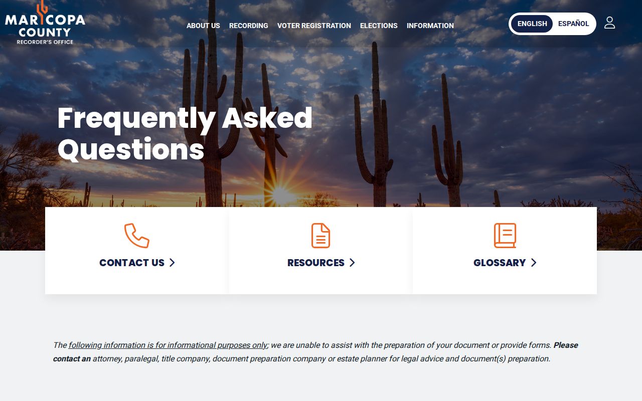
The captured Recorder guidance shows why the index, image, and certified copy are distinct products. Use the index to build the chain; request a certified copy only when an official record is needed.
- Grantor
- The party transferring an interest in the recorded instrument.
- Grantee
- The party receiving that interest.
- Chain of title
- The linked sequence of transfers for the same land.
- Legal description
- The deed's land description, which can remain useful after a street label changes.
Pair Glendale Residents With Census
A deed chain names owners. It does not settle who lived there. Reverse, or criss-cross, directories arrange entries by street and house number, while name-first directories may list a spouse, occupation, employer, and home address. Glendale often appears inside Phoenix and Salt River Valley volumes rather than in a stand-alone title. Confirmed digital editions include regional runs from 1912 through 1931, a Glendale-Peoria volume from 1954, and a Glendale directory from 1959. The full collection context belongs in the Glendale city directories collection.
Pair each directory hit with the nearest public census. The National Archives makes population schedules public after 72 years, with schedules through 1950 now open. A directory can bridge the years between those ten-year snapshots. This process keeps changes visible:
- Record the exact address and listed householder in each available directory year.
- Read the edition's abbreviation key, then note spouse, occupation, home, residence, and widow marks.
- Find the closest census household and compare names, ages, kinship, and the neighborhood sequence.
- Use deeds to separate a change in ownership from a change among previous residents.
- Search newspapers, probate, and vital indexes when death or inheritance may explain the transition.
The National Archives census research portal supplies the federal access path shown below. Its guides and partner access routes help locate a schedule after a directory has established the likely year and place.
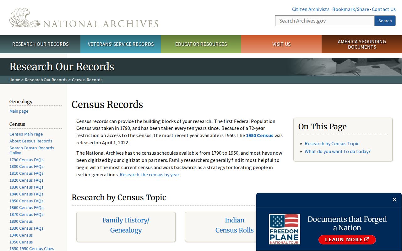
The census portal is most useful after the Glendale address and time window have been narrowed. It adds household detail that neither the assessor roll nor a deed was designed to show.
Glendale Addresses Across Record Eras
Glendale's record geography changed in stages. Maricopa County dates to 1871. The townsite followed canal and railroad development in the 1890s, and incorporation in 1910 began a distinct municipal trail. Earlier land may point to territorial or federal surveys. A later property may have sat in unincorporated county land before annexation. Postal use of “Glendale” does not prove that City Hall was the right custodian in the year being studied.
This is why a vanished old address should be tested against a period map, plat, and legal description before anyone concludes that previous residents moved. Historic Downtown and Catlin Court support longer directory, plat, newspaper, and map trails. Mid-century areas often lean more on telephone books, permits, and aerial images. Arrowhead Ranch and newer north Glendale areas tend to produce subdivision plats, parcel GIS, and newer permit records. The research found no sound citywide street-renumbering year, so none should be assumed.
Insider tip. Resolve the land first. A stable lot, block, plat, or deed description can reconnect a Glendale property after its street wording changes.
Date Glendale Homes and Changes
Building evidence adds a third timeline. The parcel card may contain structure and valuation facts, while Glendale Development Services keeps address and APN-keyed permit material. A focused Development Services request should ask for the application, issued permit, inspection log, and certificate when available, not just a portal summary. An applicant or contractor is a project role, not proof of residence.
Plats identify the subdivision framework. Aerials and fire-insurance maps can show when a structure, addition, alley, or lot arrangement appeared. Old newspapers may add a sale notice, legal description, remodel, fire, civic event, or obituary tied to the address. Search the street by itself as well as a name because OCR can distort surnames. These sources date a building and its events; they do not fill every year with an occupant.
When Glendale Records Are Offline
“Not online” does not mean the record is gone. Glendale Public Library reference staff can check cataloged and noncirculating local-history books, telephone or criss-cross directories, yearbooks, newspapers, obituary files, and licensed genealogy resources. The Arizona Memory Project provides OCR and page images for many directories, but OCR must be checked against the scan. The State of Arizona Research Library and State Archives are the next stops for maps, newspapers, government series, and historical vital material.
The State Library has reported more than 40,000 new Arizona Memory Project items and 9,050 genealogy books and periodicals digitized with FamilySearch. That expansion is useful, but a catalog entry may still lead to a reading room rather than a remote image. Recorder customer service, an office terminal, a written City of Glendale public-record request, library staff, and archive finding aids form the fallback chain. Preserve the portal, spelling, filters, and date of every negative search so it can be repeated later.
Note: Confirmed online years are a minimum collection statement, never proof that all intermediate Glendale editions survive.
Close Glendale Previous Resident Trails
Obituaries, cemetery registers, death indexes, and probate can explain where a past household trail ends. Arizona Historical Digital Newspapers offers OCR searching for local death notices, legal notices, and family events. A probate file may name a decedent, personal representative, heirs, and land, though probate is excluded from the statewide public case portal. Use the Clerk of the Superior Court in Maricopa County for the docket and copies.
Current Arizona birth and death certificates have eligibility rules. Genealogical copies move to the Arizona State Archives after 75 years for births and 50 years for deaths. An obituary is still only a lead. Pair it with a court record, cemetery register, historical index, or eligible certificate. If no source covers a year, record the gap. Inventing continuity turns a careful list of previous residents into a false claim.
Lawful use. Glendale previous-resident research suits house history, genealogy, and estate work. Never use an address trail to watch, harass, intimidate, or harm a living person.